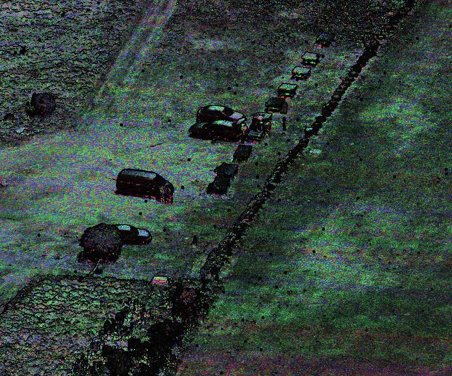
The popularity of unmanned aerial vehicles has translated into the enormous development of this industry in recent years. As a result, they ceased to be merely “flying cameras”. Today, under an unmanned aerial vehicle, it is possible to install fully professional, adapted to obtaining precise data, airborne laser scanners.
Thanks to the use of our custom-made UAV, equipped with a high-class airborne laser scanner that allows measurement with an accuracy of 5 mm and a speed of 1,500,000 measurements/second, we can offer surface measurements that are too small for an airplane, and too large for terrestrial or mobile scanning. The state-of-the-art laser scanning technology enabling additional distribution of points along the flight axis (Forward/Nadir/Backward) allows for an effective inventory of trees and the ground floor of the building. On the other hand, our use of a multi-rotor hybrid platform allows us to achieve flight times at least 50% longer than those commonly available on the commercial market.
During laser scanning, our UAV also acquires aerial photos with a resolution of 60 Mpx in RGB channels and independently additional 4 spectral channels (G, R, Re, NIR).

