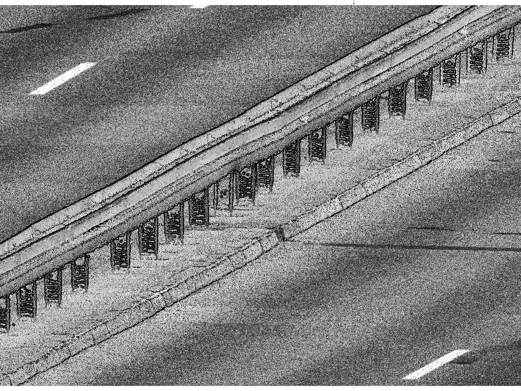
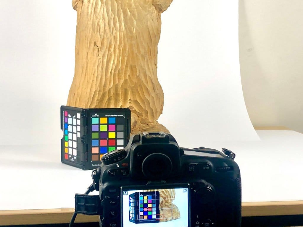
photogrammetric documentation of museum facilities
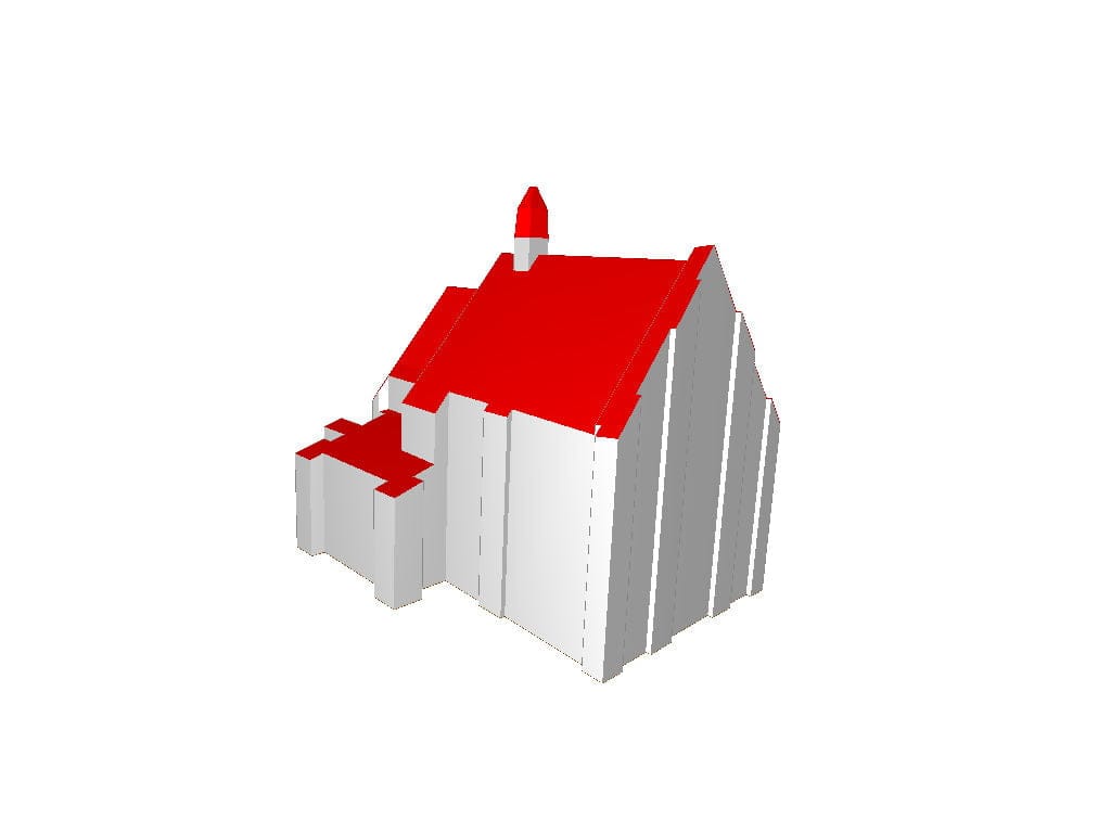
creating of approx. 5 million buildings in the cityGML format
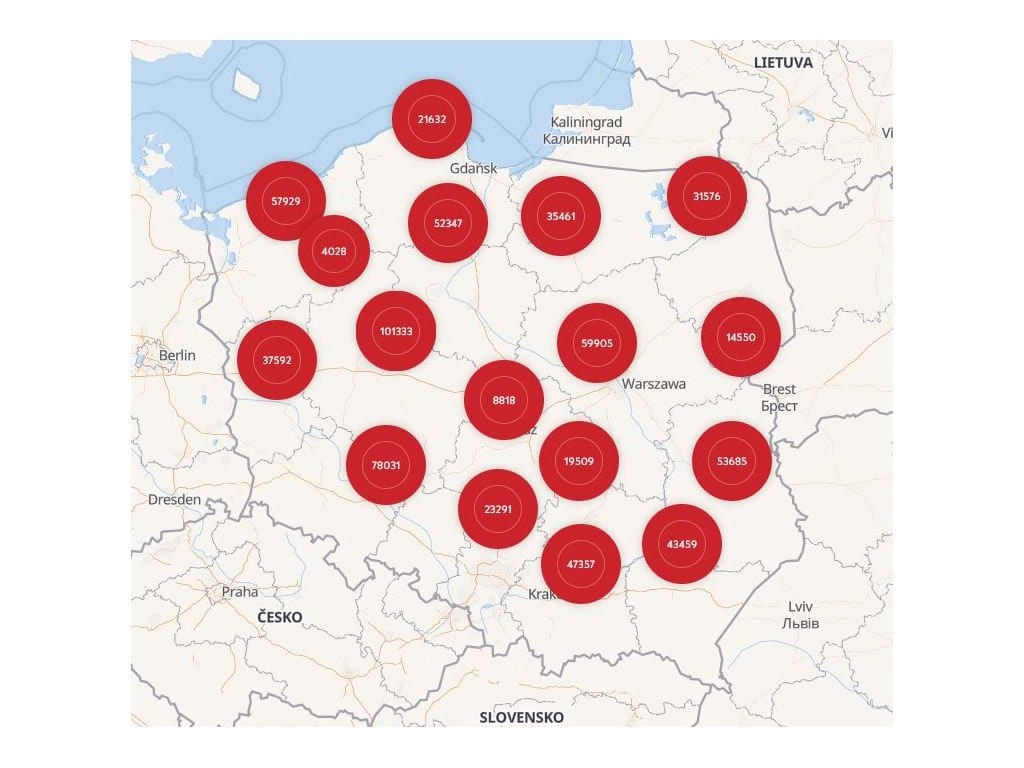
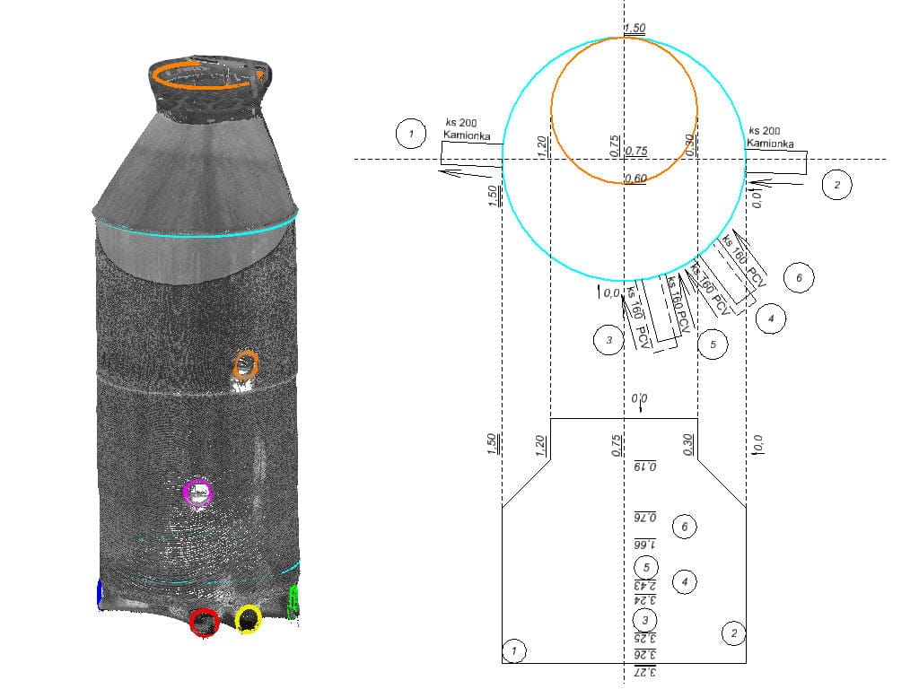
geometry measurement of 30 thousand sanitary wells
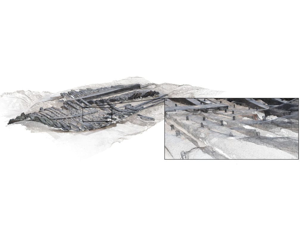
“in situ” wreck documentation
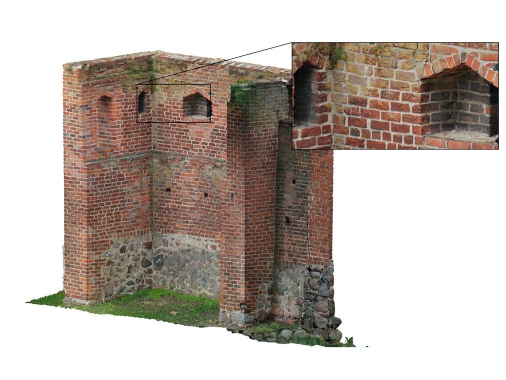
3D documentation of the historic hideout for conservation purposes
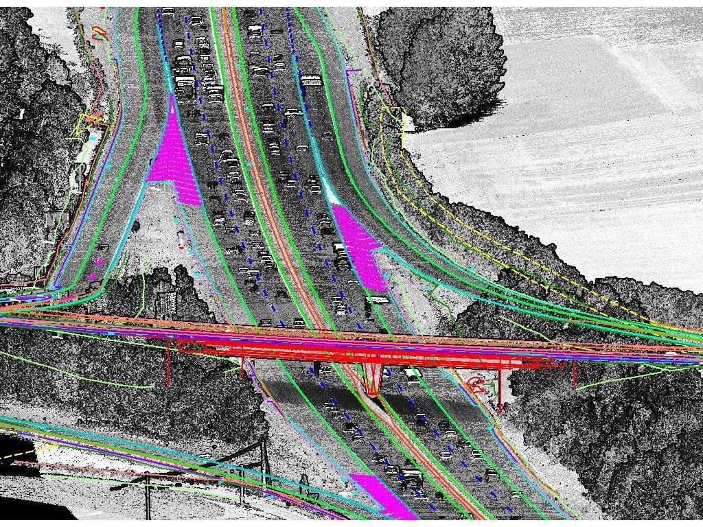
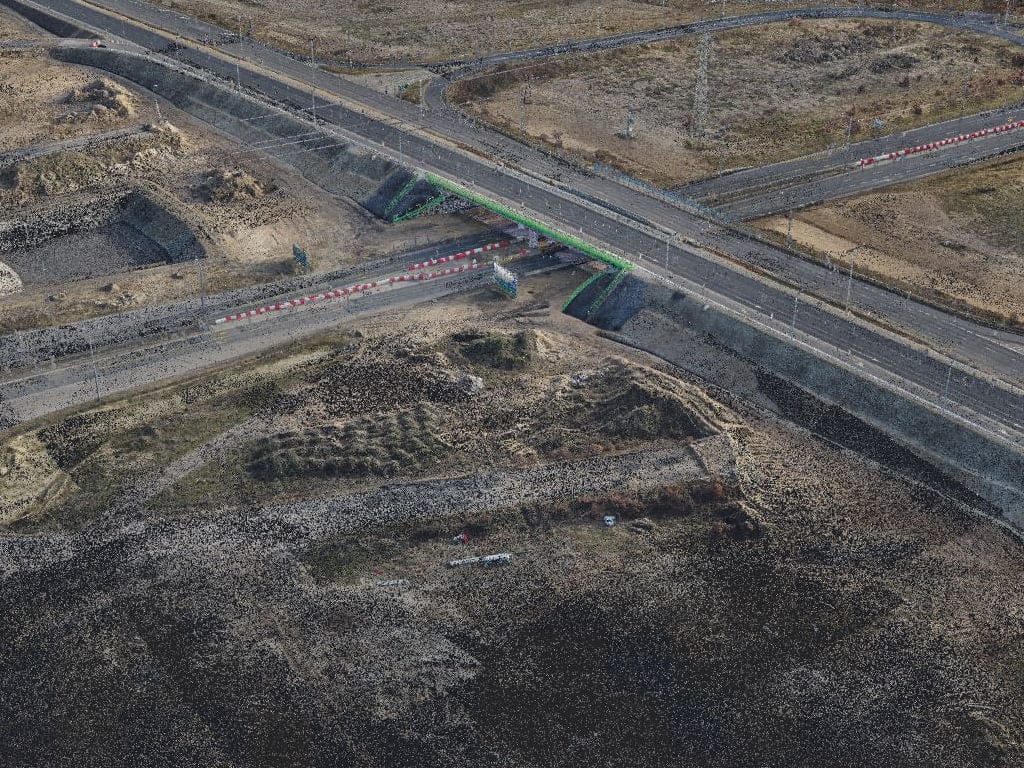
full documentation of the road junction with the use of UAV and TLS
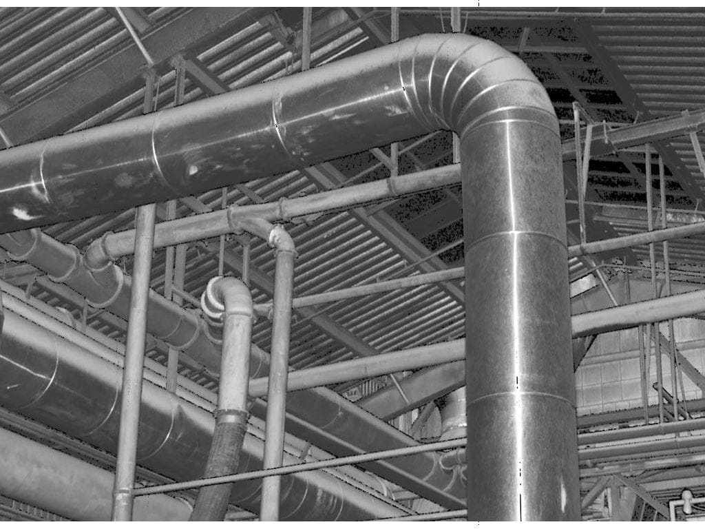
3D scan of an industrial installation
surveying of the structure of the non-existent medieval city
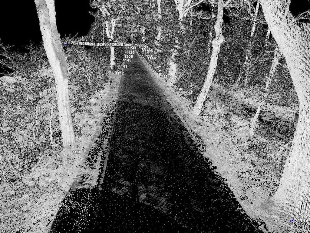
measurement of the location and DBH circumference of trees
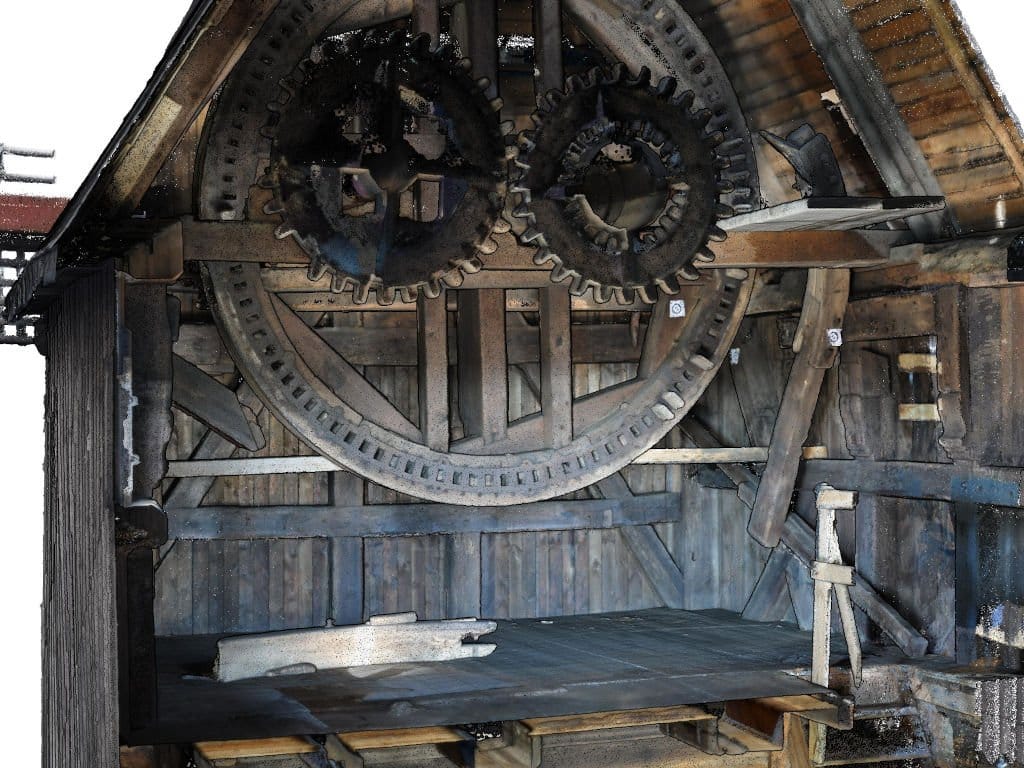
3D documentation of an antique windmill
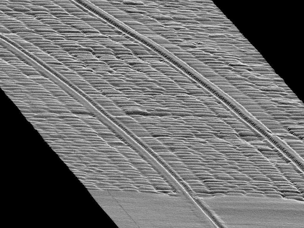
mobile road surface measurement with an accuracy of approx. 5 mm
This site uses cookies, by using the site you accept the privacy policy and cookies. I acceptResignationRead more
Privacy and cookie policy
Privacy Overview
This website uses cookies to improve your experience while you navigate through the website. Out of these cookies, the cookies that are categorized as necessary are stored on your browser as they are as essential for the working of basic functionalities of the website. We also use third-party cookies that help us analyze and understand how you use this website. These cookies will be stored in your browser only with your consent. You also have the option to opt-out of these cookies. But opting out of some of these cookies may have an effect on your browsing experience.
Necessary cookies are absolutely essential for the website to function properly. This category only includes cookies that ensures basic functionalities and security features of the website. These cookies do not store any personal information.