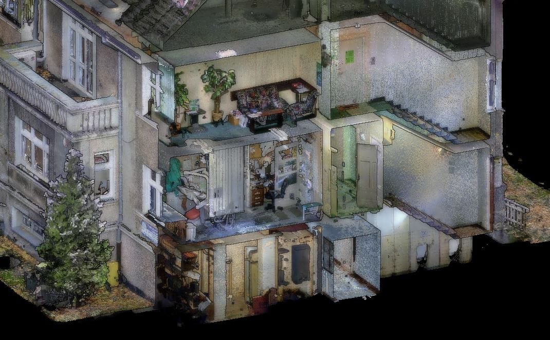
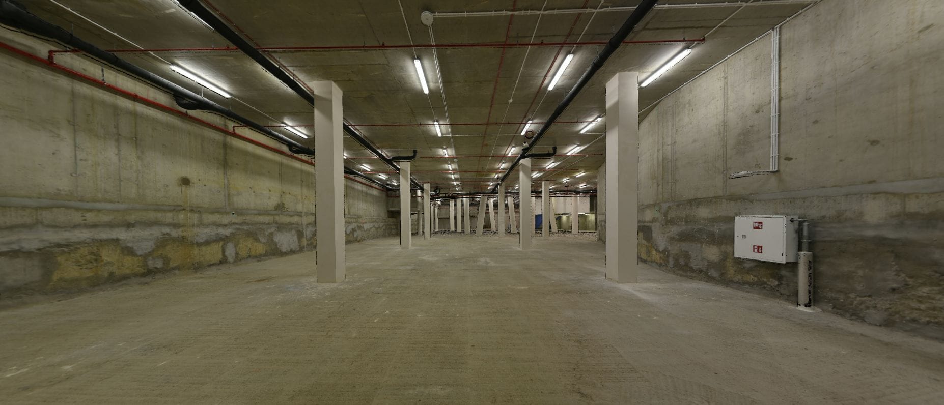
The most accurate method of cubature measurement is terrestrial laser scanning (TLS). In the case of complex facilities, such as industrial plants with extensive technical infrastructure, architectural monuments, or complex building structures, it is unrivaled. Measurement of this type enables the collection of complete spatial information in a relatively short time with high precision. Each element of the scanned object is digitally represented in the form of the so-called point clouds. It contains, in addition to the XYZ coordinates of each point, information about the color and the so-called intensity of reflection from a given surface.
Thanks to the fact that we own laser scanners from three leading manufacturers, we can always choose the right equipment for the task. The accuracy of our measurements starts from tenths of a millimeter, and their range ends up to 2 kilometers. The speed of our scanners is up to 2 million points/sec. We use scanners from Zoller + Fröhlich, Leica and Riegl on a daily basis.


