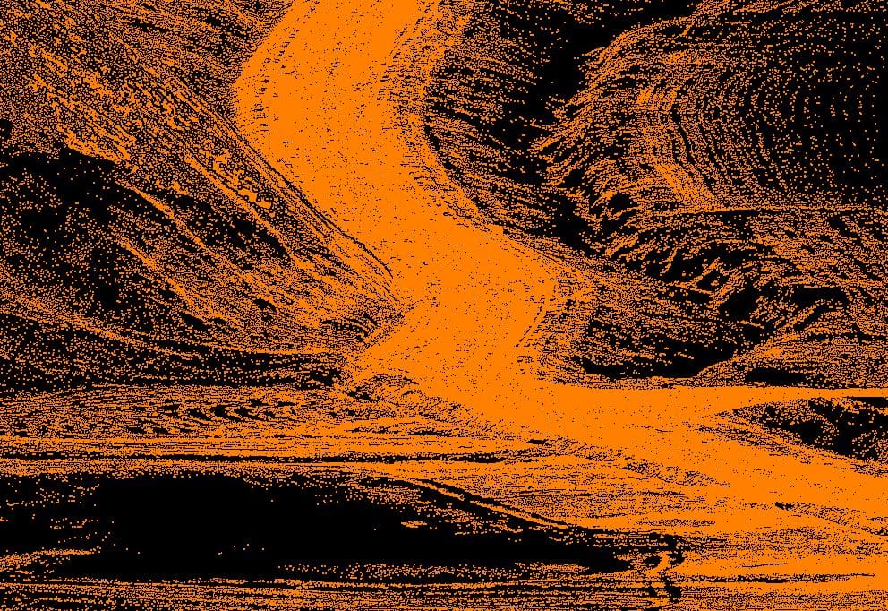
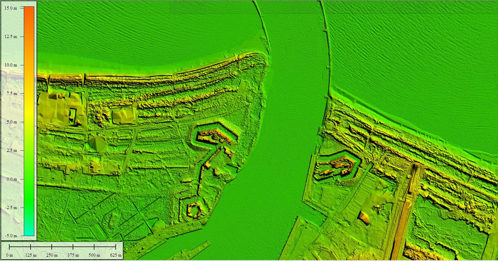
We make Digital Terrain Models (DTM) based on airborne, mobile and ground laser scanning.
DTM is a digital representation of the terrain surface without taking into account objects on it, such as low, medium and high vegetation and buildings. The great demand for such data and the wide application possibilities in various fields made them an excellent material for various analyzes and geospatial calculations. The digital terrain model can support the design and investment processes. It is used in analyzes and forecasts of physical, economic and social phenomena.
We have extensive experience in obtaining data and developing a digital terrain model as part of ISOK and CAPAP projects for a total area of approximately 100,000 square kilometers. We also support the implementation of local and national investments, from the initial concept stages to the as-built inventory. In the case of road projects, we can make terrain models with a height accuracy of less than 1 cm. Periodically acquiring data, we also provide differential terrain models for monitoring purposes, e.g. opencast mines. On the basis of DTM, we calculate the volume and balancing of earthworks, field cross-sections, determination of flood areas and many other analyzes.


