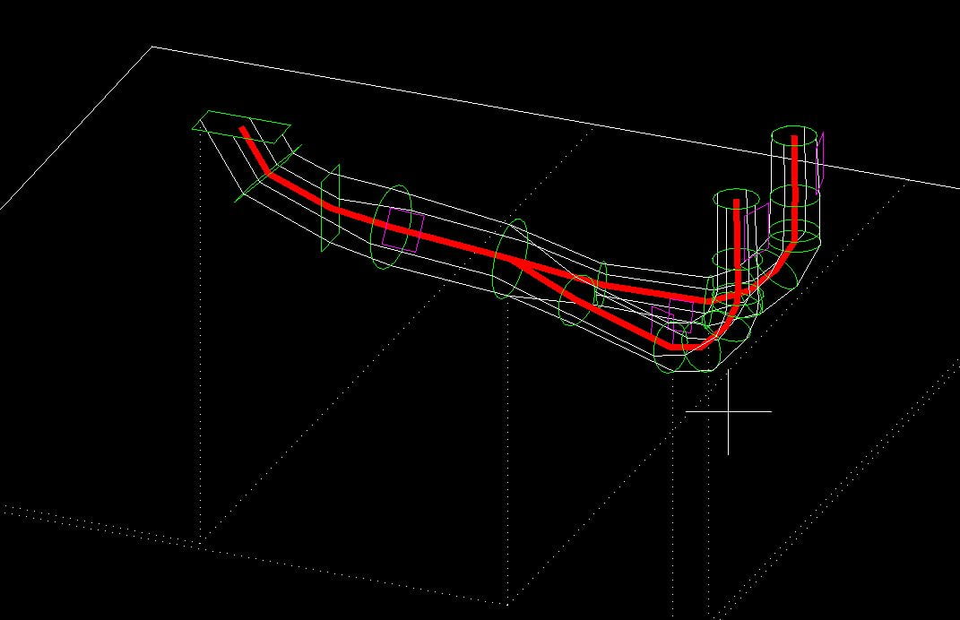
The technologies we use enable the creation of complete CAD documentation. Its most obvious form is 2D documentation representing large surfaces or vertical elements of small objects, such as the facade of a building. It can also be the result of vectorization of cross-sections of various installations or objects.
3D documentation is more advanced, which in turn can represent the full geometry of industrial installations, building blocks or engineering structures. This type of documentation is made on the basis of data from laser scanning as well as classic geodetic measurement using tacheometry or a GNSS receiver.

