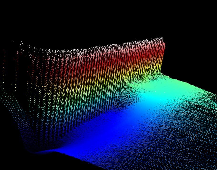
Bathymetric measurements are performed to obtain information about the depth of a given body of water, and thus the shape of the bottom of the water reservoir. The measurement results are used, among others in order to prepare navigational maps (to ensure the safety of navigation), analyze the navigability of ports and waterways, locate submerged objects and estimate the degree of siltation of retention and sediment reservoirs. Using a multi-beam sonar system (two or one head), we are able to provide very reliable 3D data from under the water surface.
We perform:
- measurements with multi-beam or single-beam echosounder,
- analysis and processing of bathymetric data in specialized software,
- bathymetric planks,
- cubature calculations of the bottom,
- numerical bottom models,
- reporting documentation.

