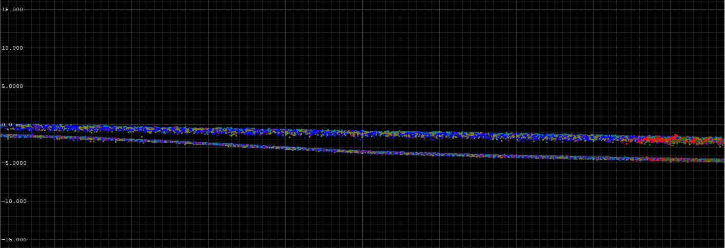
In response to the growing needs in the field of measurements and surveys of the bottom of rivers, lakes and seas, we offer the acquisition and development of seabed height data using the technology of airborne LiDAR bathymetric. For this purpose, we use one of the latest laser scanners on the market that emits a green laser beam. From the airline ceilings, it is possible to perform measurements at shallow depths, in places that are difficult to reach with a watercraft. Therefore, this type of data is the perfect complement to our measurements from the boat deck. Thanks to the use of one of our aircrafts as a carrier platform, our bathymetric scanning is not only very effective, but also economical. In addition, its undoubted advantage is high mobility. In one day, it is possible to scan objects that are even several dozen kilometers apart.

