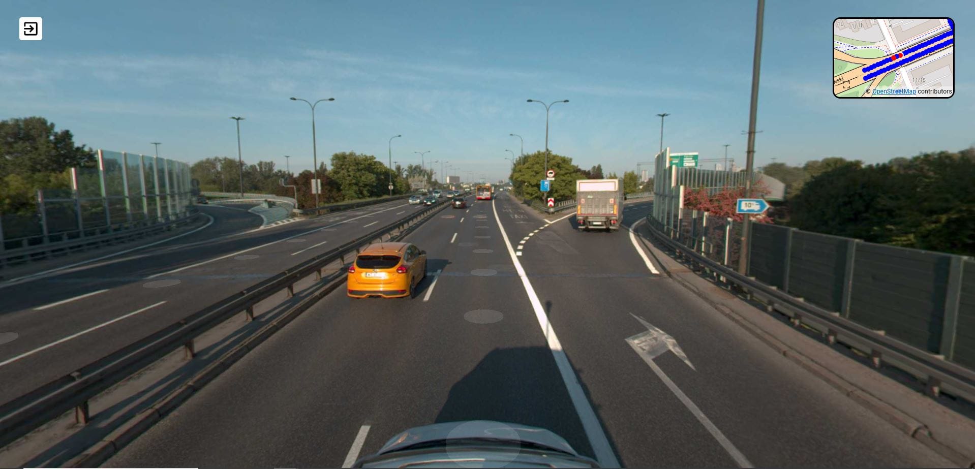
A popular solution used in GIS systems is the inventory of the environment with the use of 360 spherical photos, the so-called street view. Visualization of a given place allows for quick analysis of the obtained geometric and attribute data, as well as their verification with the actual state in the field. Our portfolio includes various implementations of this type of service. We make panoramas during terrestrial laser scanning from the scanner position, we obtain panoramas using digital SLRs, and finally we image linear objects with a 360 view from our mobile scanning system.

